Developing any project, private or public, in the 21st century requires knowledgeable and experienced professionals. In recent years, real estate values associated with projects have experienced significant appreciation and the trend towards growth continues. As these values rise, the risks associated with the development process continue to rise as well, underscoring the need to assemble a highly qualified and experienced team of professionals with whom to consult so that these inherent risks are minimized.
Pigeon–Roberts & Associates, LLC, is well qualified to be a part of that team. We utilize state of the art technologies (Trimble GPS, Robotic Total Station, Survey Controller and STS900 software platforms, AutoCAD with Civil 3D) in delivering Surveying and Mapping solutions that are tailored to the needs of each of our clients.
With over 28 years in the Surveying and Mapping professional industry, we consider ourselves to be any client’s ‘Consultant Partner’. Our broad and diverse experience enables you to obtain the following surveying and mapping services with comfortable confidence from a sole provider.
- Boundary Surveys (ALTA, MTS and other)
- Topographic Surveys
- Jurisdictional Wetlands Surveys
- Tree Location Surveys
- Design Surveys
- As-built / Record Surveys
- GLO Retracement Surveys
- Specific Purpose Surveys
- Condominium Surveys
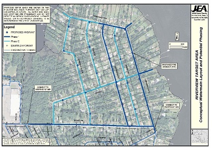
- Subdivision Development and Platting
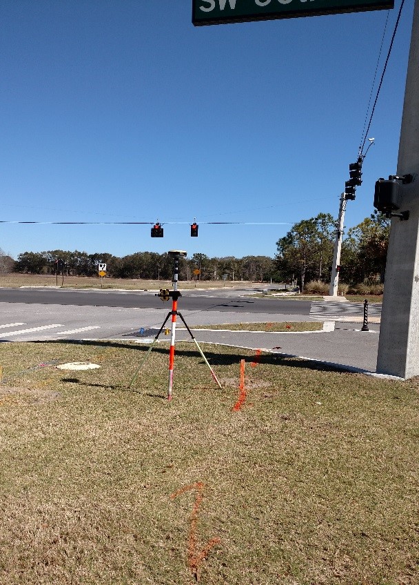
- Horizontal and Vertical Control Surveys
- Aerial Photographic Control
- Eminent Domain and Condemnation
- Legal Descriptions and associated Sketches
- Expert Witness Testimony
- Consultation for Pre-Suit Mediation